Port of special international economic importance Gat sv. Duje 1, 21000 Split
+385 21 233 259 · +385 21 390 222 lusplit@portsplit.hr

Kaštela Basin B
Kaštela Basin B comprises the "PROPLIN" and "Sveti Juraj" operational quays, with a total of five berths.
Kaštela Basin B comprises the "PROPLIN" and "Sveti Juraj" operational quays, with a total of five berths.
Operational quays 1 berth 2 berths 2 berths
Quays and berths
quay 01
PROPLIN
Total length80 m
Max. depth8.5 m
quay 02
SVETI JURAJ I
Total length220 + 75 m
Max. depth8.2 m
Max. ship length120 m
quay 03
SVETI JURAJ I
Total length280 m
Max. depth6.8 m
Max. ship length120 m
Maps and plans 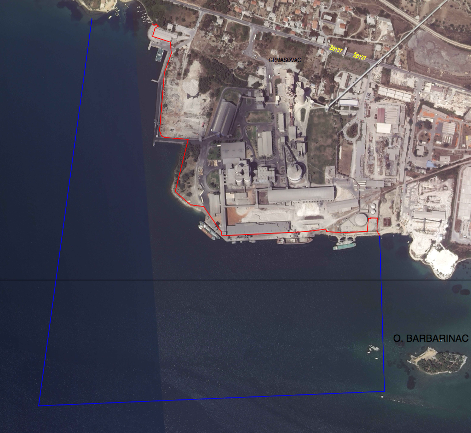
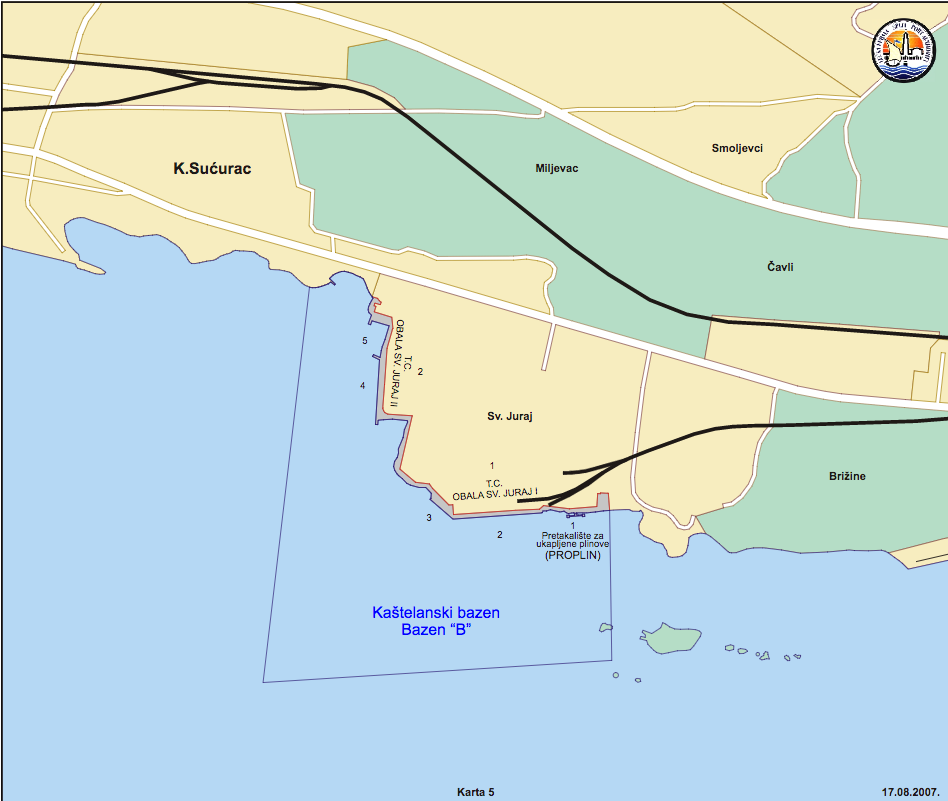
Orthophoto and basin map
Orthophoto open
Map open
Technical data
Location, tide and areas
Location
Latitude43°32.3′ N
Longitude16°26.7′ E
Tide
Range0.2 – 0.4 m
Areas
Land0.016740 km²
Sea0.532 km²
Quays
Operational quay0.538 km
Number of berths5
Other port areas
Explore the technical data and quays of the other basins of the Split port system.